
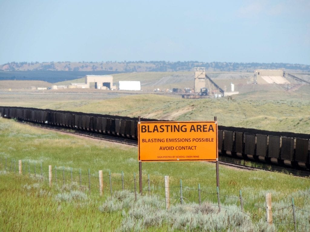
The Powder River Basin of northeast Wyoming and southeast Montana is the largest coal producing region in the United States. Here, the nation’s largest coal companies operate the largest coal mines, fueling 10% of all U.S. greenhouse gas emissions.
Check out the map, scroll through the slides and learn more about the link between coal mining in this region, carbon costs and climate change, and air pollution and public health impacts.
Sadly, even though coal production has declined precipitously in this region due to the retirement of coal-fired power plants in the United States and even though companies have been thwarted in their efforts to acquire new federal coal leases in the region, President Trump and his Interior Secretary, Ryan Zinke, are pushing for more mining.
For nearly 10 years, WildEarth Guardians has pushed back against new mining in this region and to keep our coal in the ground. Given that the Powder River Basin remains a major threat to our climate and our public health in the United States, you can expect we will continue to fight back for clean energy and a healthy future.
